
GEOLOGICAL DISCOVERY
Turn Geological Records Into Usable Data.
Extract drill logs, assay results, lithology, geological maps, reports, and historical exploration data—without manually transcribing every page.



Your Data is Trapped in Static Documents.

Decades of Scattered Files
Historical exploration records contain valuable information that is difficult to store and retrieve.

Constant Manual Entry
Geologists and data teams spend hours copying exploration data and other records into spreadsheets.
Disconnected Information
Critical data is spread across drill logs, assay reports, maps and project files—making it difficult o build a complete picture.
Extract Key Data From Drill Logs to Historical Archives
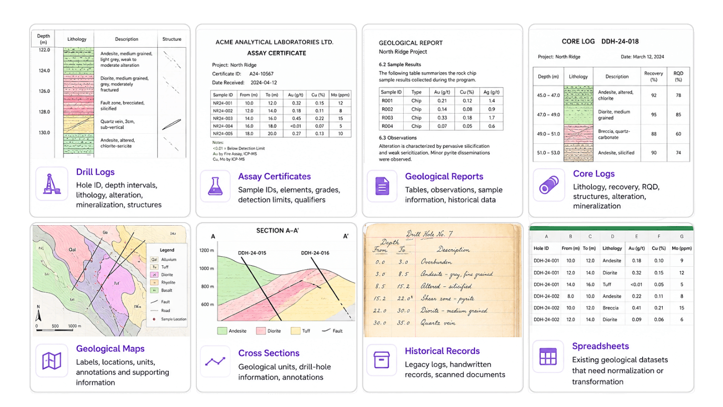
Our AI processes the documents that hold your most valuable geological data. We extract the information you need, preserve your project-specific structure, and transform your records into clean data for analysis and integration.
Structured Documents in 5 Steps


Upload
Scanned logs, PDFs, images, spreadsheets, maps and more.


Understand
AI identifies geological fields, terminology, shorthand and context.


Validate
Low-confidence or ambiguous values are flagged for human review.


Structure
Data is standardized to your schema, naming conventions and templates.


Deliver
Excel • CSV • Database • VRIFY • Leapfrog • Your Existing Workflow
AI Speed.
Human Confidence.
Geological documents aren’t always clean. They Contain handwriting, abbreviations, inconsistent terminology, legacy formats, and ambiguous values. That’s why NextFile combines AI extraction with human validation.
AI
Finds and extracts thousands of values in seconds.
Confidence
Flags uncertain or unusual data for further review after extraction.
Human
Reviews exceptions against the original document for higher accuracy.
Output
Clean, validated geological data you can trust, directly to your systems.




Your Data.
Your Workflow.
Your Schema.
We don’t force geological teams into a new system. We structure he extracted information to match the way your team already works.

Normalize technology, units, naming conventions, and fields
✓ Standardize
Match extracted information to the structure you need.
✓ Map
Send clean, analysis-ready data directly into the tools you use.
✓ Deliver
Analyze and Visualize with

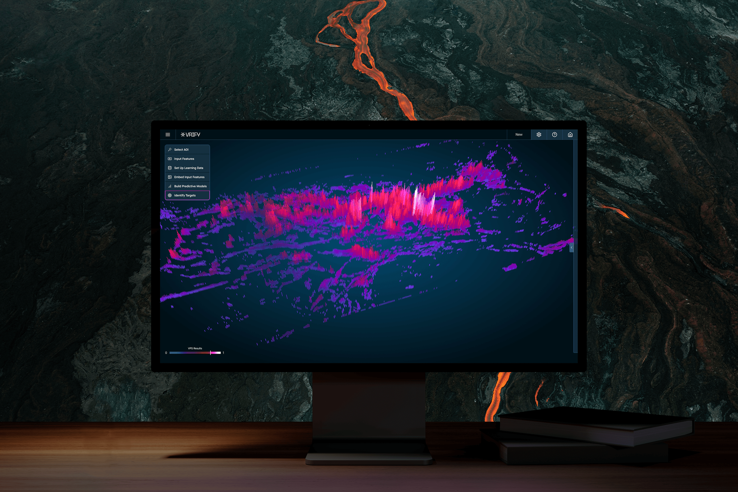
Transform geological data into intuitive visual models that reveal what's beneath the surface, helping teams uncover patterns, evaluate opportunities, and prioritize drill targets with confidence.
✔ Standardize data types and naming conventions
✔ Map outputs to your workflow or templates
✔ Deliver clean, analysis-ready files
Bring geological data together into a structured dataset that provides a clearer understanding of the deposit and surrounding geology.
Unify Geological Data
Visualize Exploration Potential
A single misplaced decimal in an assay or geolog can derail an entire estimate. Our solution ensures high accuracy, whether documents are typed or hand-written.
Unlock Geological Knowledge
Transform legacy geological records into searchable, accessible information that can be leveraged across exploration programs.
Discover More In Your Archive.
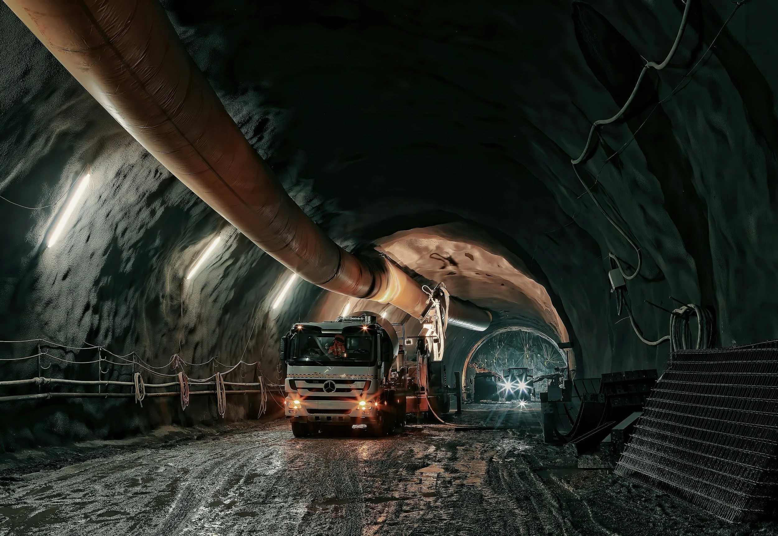
Get your teams to access reliable datasets from field notes and legacy logs, creating a more efficient document flow when retrieving files and modelling drill projects.
✓ 90% reduction in processing time
✓ 99% accuracy with human validation
✓ stronger modelling capabilities
✓ seamless integration with existing systems
Ready To Dig Deeper?
See how NextFile can modernize your archive and ongoing workflows and drive results across your operations.
Trusted by organizations across the mining industry.
FAQ
-
Basic OCR captures text; NextFile understands your field. Our AI is trained on industry shorthand, tabular layouts, lithology codes, depth intervals, and assay formats. Every value of the results are validated before delivery.
-
Yes. Field handwriting, abbreviations, and non-standard layouts are common in geology, and our models are trained for exactly that. Anything unclear is flagged and verified during human validation.
-
Every extracted data point is cross-checked against the original document in a human-in-the-loop validation step. This prevents “fat-finger” errors like incorrect depths, grades, or decimal placement.
-
We never guess. Ambiguous values are reviewed manually and confirmed against the source document. If our validation team has questions, we will reach out to make sure we get it right.
-
We deliver clean, structured Excel (.xlsx) or CSV files, formatted to match your internal templates and ready for analysis, modeling, or import into your systems.
-
What typically takes days or weeks of manual entry is delivered in minutes to hours, depending on volume. Most clients receive usable data by the next shift.
-
Yes. We align outputs to your current spreadsheets, naming conventions, and column structures so there’s no downstream cleanup required.
-
Absolutely. Your geological data remains private, encrypted, and handled under strict confidentiality protocols.